Forschungskolloquium PG: Classification of Debris Glacier using Machine Learning and Deep Learning on High-resolution Imagery. – Mi. 29.04.2026
Physisch-geographisches Kolloquium (PG):
Classification of Debris Glacier using Machine Learning and Deep Learning on High-resolution Imagery
Prof. Dr. Aftab Khan & Syed Najam Hassan (Karakorum International University)
Moderation: Prof. Dr. Matthias Braun
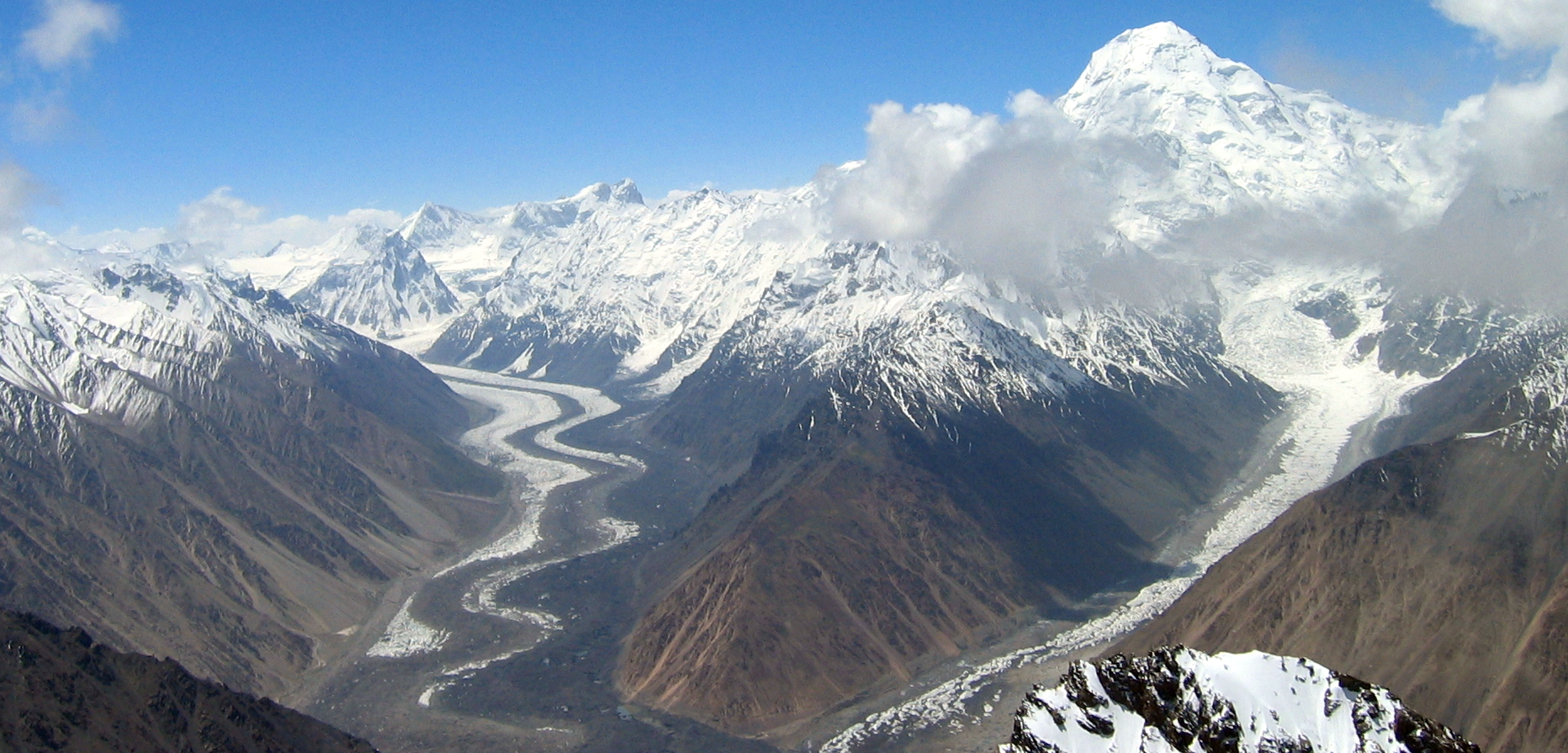
Prof. Dr. Aftab Khan: Deep Learning-Based Fine-Grained Classification of Debris-Covered Glaciers Using UAV Imagery
Debris-covered glaciers pose a significant classification challenge due to their complex surface characteristics and spectral similarities to surrounding terrain. This study presents a comprehensive approach for the fine-grained classification of debris-glaciers using high-resolution UAV imagery and deep learning models. Field data were collected from four major glaciers in the Hunza region of the Karakoram, with drone imagery manually annotated into multiple debris classes, including boulders, wet sand, clay, ice cliffs, and clean ice. Five deep learning architectures—CNN, DenseNet-121, EfficientNet-B7, ResNet-50, and ResNet-101—were trained and evaluated using confusion matrices, classification reports, and performance curves. Among the models we tested, ResNet-101 demonstrated a higher accuracy and generalization capacity, followed closely by EfficientNet-B7. The findings underscore the efficacy of deep neural networks with advanced feature extraction capabilities for debris classification.
Syed Najam Hassan: Extracting clear ice surface of mountainous glaciers of Karakoram Range using Machine Learning for different Band Ratio compositions of OLI: CaseStudy of Hunza Sub-Basin
Glaciers in the Hindu Kush-Karakoram-Himalaya region impact Earth’s climate. However, the region needs more detailed information about its glaciers. Specifically, the stability of glaciers in the Karakoram range of the Hunza sub-basin is a well-known anomaly. Operational Land Imager (OLI), exploited with machine learning (ML), is highly recommended for glacier monitoring due to improved accuracy. So, it is necessary to update the status of glaciers in sub-basin using OLI and ML. Therefore, the presentation will discuss:
• The evaluation of current extent of clear ice in the sub-basin to examine stability
• The application of ML for extracting clear ice from OLI and assess accuracy.
Google Earth environment is used to derive the data of Operational Land Imager and further analyzed it with a machine learning approach to classify the extent of clear ice. Multispectral data during from ablation period with a minimum cloud acquired from the GEE environment. Band ratios extracted from visible and IR bands as ratio reflectance over the clear ice surface is used as signature for ML. This analysis concluded that the glaciers in the sub-basin have an overall stable clear-ice extent except for variations in terminal ends.
Wann: Mittwoch, 29.04.2026 von 12:30 bis 14:00 Uhr
Wo: Präsenz, Seminarraum 00.210 Tennenlohe, Wetterkreuz 15, 91058 Erlangen.
Vortragsübersicht für das Institutskolloquium im Sommersemester 2026.
******
Fragen zum Kolloquium?
Organisation: Dr. des. Lena Schlegel (KG) und Dr. Sebastian Feick (PG)