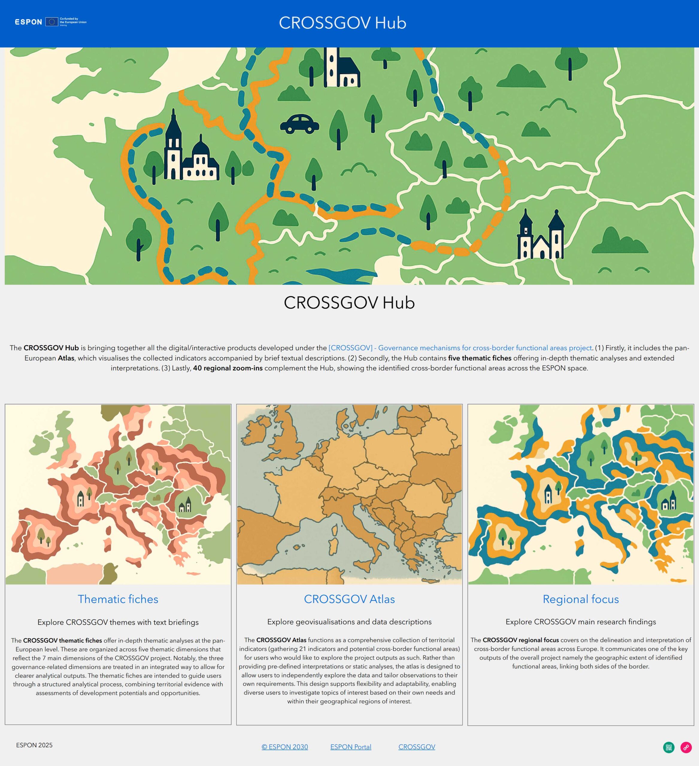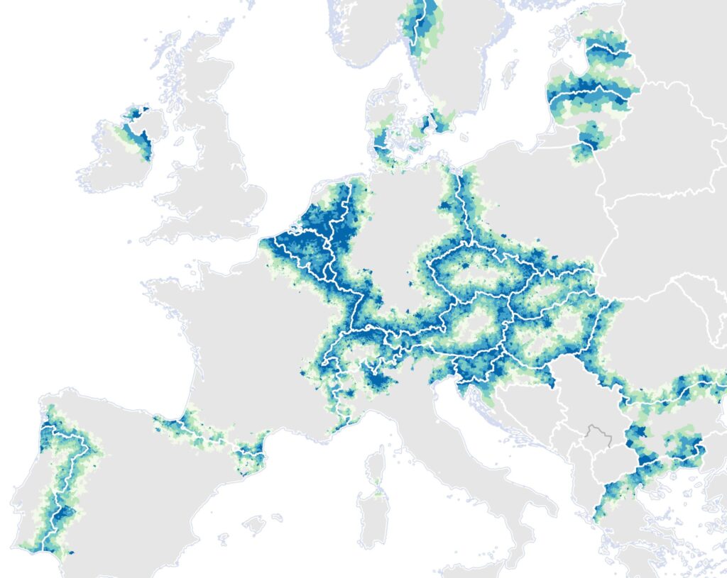
The recently published ESPON CROSSGOV project, led by Prof. Tobias Chilla’s working group, has developed a new interactive web tool that highlights the diverse structures and dynamics of European border regions. At the heart of the CROSSGOV Hub is the CROSSGOV Atlas which allows users to explore 21 territorial indicators along thematic pan-European analyses via the Thematic Fiches. In addition, the project proposes a methodological framework to identify cross-border functional areas (CBFA) across Europe. The resulting 85 CBFAs can be explored via the Regional Focus. The project (2024–2026) presents an important step towards fine-scale data availability for border regions, in particular at the pan-European level. Most prominently, the Atlas includes:
The main report summarises the findings from the analyses, provides an overview on cross-border governance structures and cross-cutting findings from the 10 case studies and formulates recommendations for policy-makers and future research needs.