2022 Gletscherexpedition – Kanderfirn
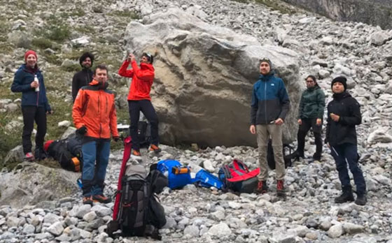
Within the Glacier Systems & Natural Hazards group of the Institute of Geography, a field expedition was conducted in September 2022 to Kanderfirn Glacier in the Bernese Alps of Switzerland. The aim of this field work was to quantify surface mass loss in the frontal areas as well as to map the heavy debris cover on the northern glacier flank. The latter information was part of a Master project that aims at quantifying the extent and thickness of this debris layer. Moreover, the project aims at estimating where this debris has a protective or amplifying effect on surface melting. Measurement techniques comprise ablation stakes, GPS, thermal records and a UAV monitoring of optical and thermal surface properties.
A short video was compiled by Oskar Herrmann and gives visual impressions of this field work. The accommodation was in the valley at Heimritz. Every day a 2 hour hike was required to access the glacier – one way. Part of the team did raise a camp on the glacier to save some walking time. On the first day, we built up the tents and distributed 18 colored sheets as markers for the drone. A second team distributed thermal logger debris-covered area, buried 2-3cm below the surface. In the afternoon, the drone flew across the lower part of the glacier, taking optical and thermal images. On the second day, we collected the markers and did a second drone flight across the debris-covered area. On the third day, one group measured the thickness of the debris covering the region of interest near the glacier snout. A second team measured the glaciers ablation at the ablation stake, drilled a new hole, and reset the position of the ablation stake.